CADD & Civil3D Services
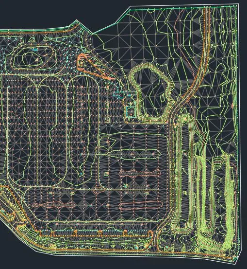
AutoCAD drawings, digital terrain models, boundary and topographic survey drafting, subdivision plats, condominium exhibits, and building plot plans prepared from your field data and design requirements.
Professional Surveying & Mapping Consultant
E.F. Gaines Surveying Services helps engineering firms, municipalities, title professionals, and project teams move complex survey deliverables forward with clear office-based support, careful documentation, and experienced QA/QC.


About E.F. Gaines Surveying Services, Inc.
Elizabeth Gaines has been a Professional Surveyor & Mapper since 1988. After two decades with one of Florida’s leading civil engineering firms, she founded E.F. Gaines Surveying Services in 2002 and offered a full range of surveying services to engineering firms, contractors, real estate professionals and municipalities.
Today the firm focuses exclusively on office-related surveying support: CADD production, Civil3D terrain models, legal descriptions and sketches, parcel mapping, GIS-ready data, and technical peer reviews. The result is a lean, experienced partner that can plug into your workflow when deadlines, documentation, or review cycles need extra precision.
Services
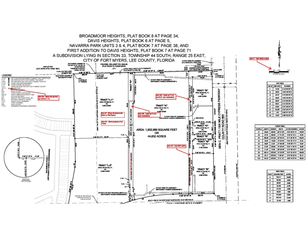
AutoCAD drawings, digital terrain models, boundary and topographic survey drafting, subdivision plats, condominium exhibits, and building plot plans prepared from your field data and design requirements.
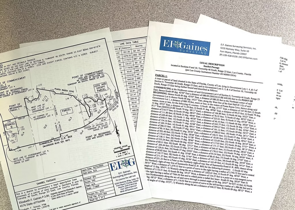
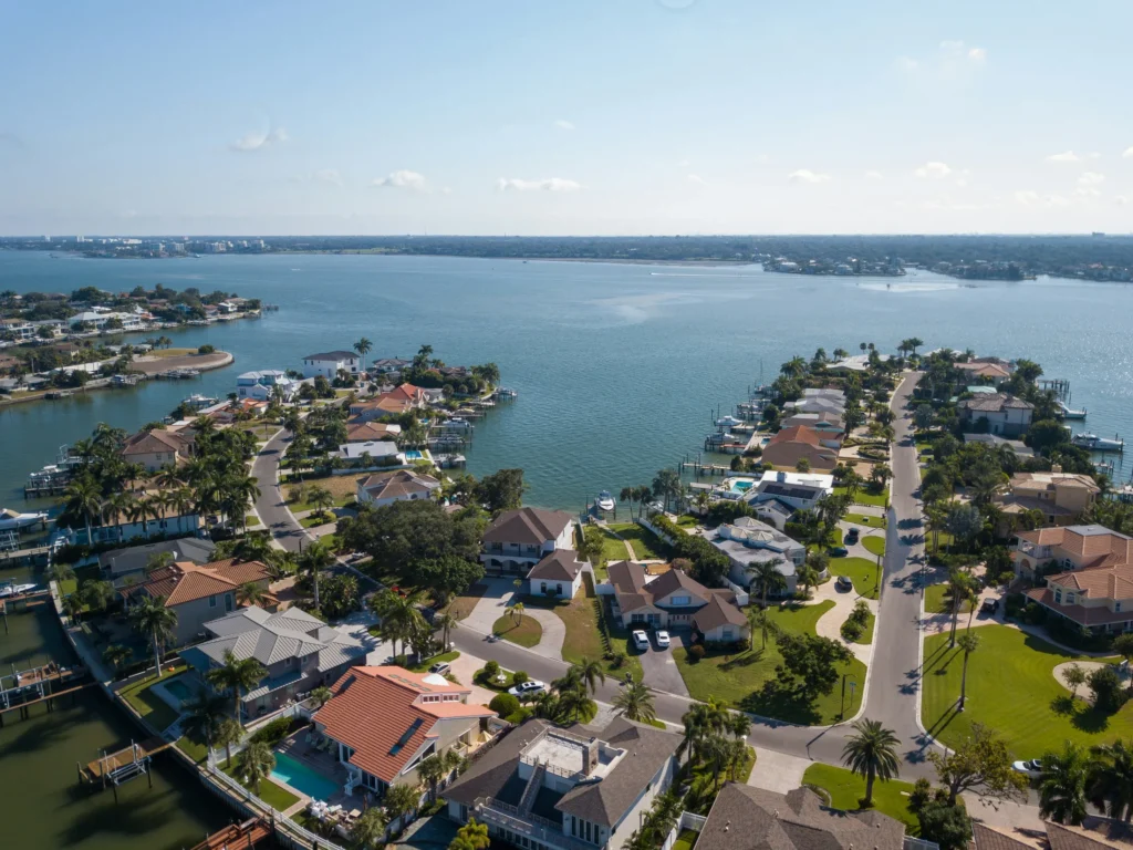
Metes and bounds, fractional, coordinate-based, utility easements, parcel rezoning, right-of-way takings, and parcel creation descriptions, typically delivered with an accompanying sketch to provide a clear graphic reference.
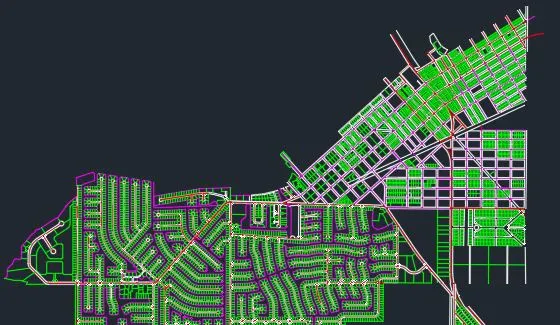
Linework and polygon creation for GIS base maps using deeds, subdivision plats, and related sources, with State Plane Coordinate System integration when accurate parcel layer display is needed.
Perform QA/QC reviews of final mapping products using either ours or our client’s review processes and checklists; perform subdivision plat reviews for municipalities (over ten years of providing this service to the City of Fort Myers).
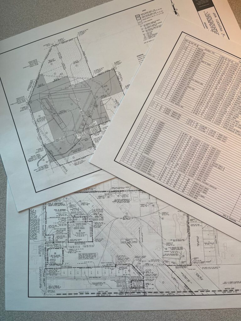
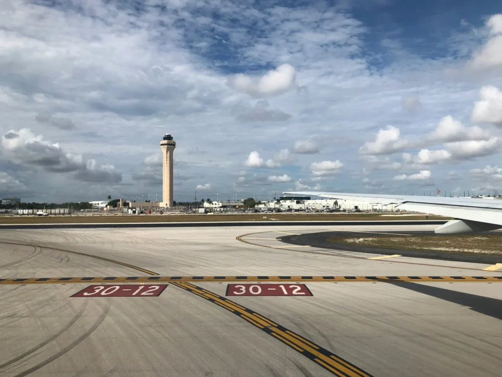
Prepare Airport Property Maps showing boundary survey data provided by others along with acquisition parcels, leases, and easements plotted from provided title work.
How It Works
Whether you need drafting capacity, legal description support, GIS-ready parcel work, or a second set of experienced eyes before finalizing your deliverables, EF Gaines keeps the collaboration clear and organized from the first file transfer to final delivery.
Share field files, deeds, plats, design specifications, review standards, and target deadlines.
Liz clarifies the technical approach, expected format, review checkpoints, and any coordination needs.
Deliverables are prepared with consistency, transparency, and the careful attention to detail that your team depends on.
Contact
Please reach out to discuss your project, timeline, and the technical support that would help your team with a quick and accurate completion of your deliverables.
EmailLiz@EFGaines.com
Phone239-822-4565